
Real Estate Drone Photography & Video
Sell the story of your listing—fast.
8 Blade Media helps agents and brokers capture attention (and offers) with cinematic drone video, crystal-clear aerials, and MLS-ready photo packages that showcase architecture, scale, landscaping, and neighborhood appeal. We’re a Disabled Veteran–owned, FAA Part 107–certified, and fully insured team serving Atlanta and the greater Southeast.
Why aerials matter for listings
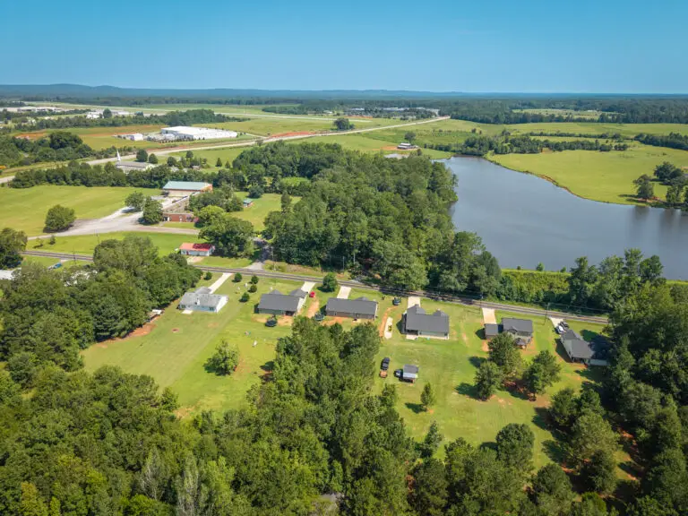
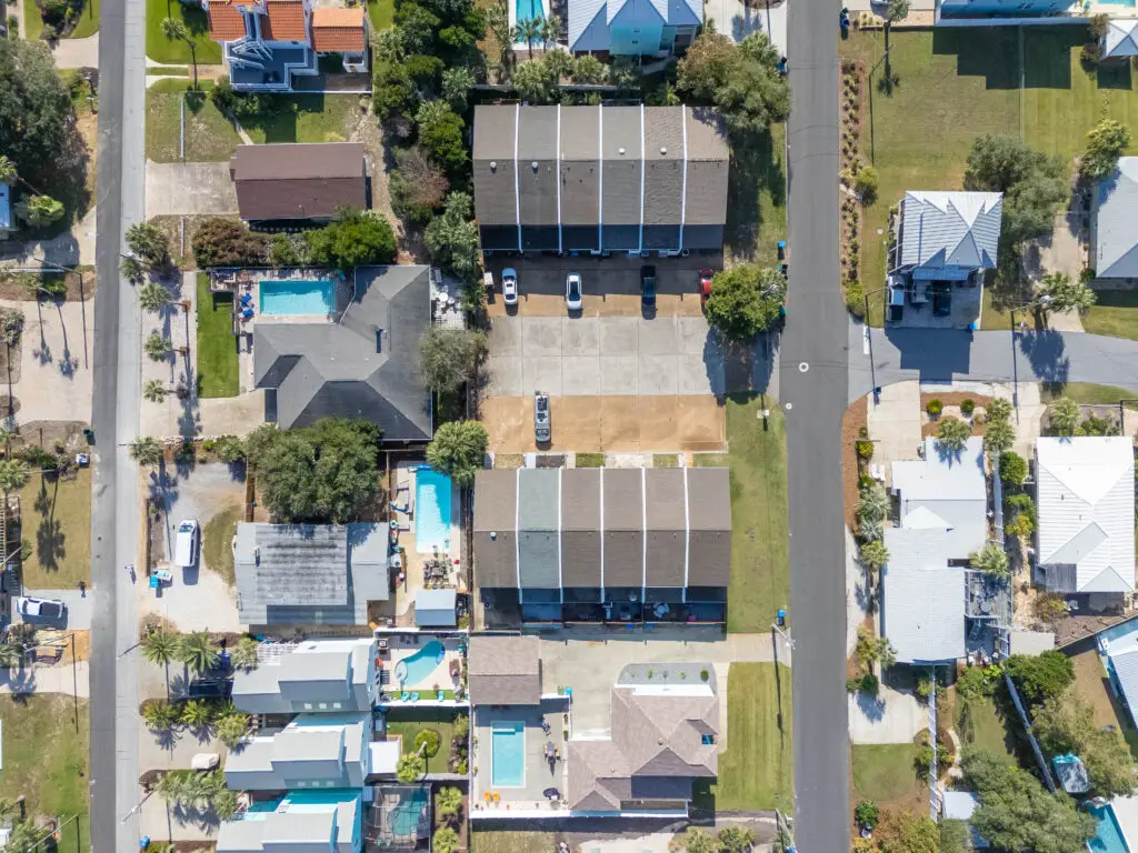
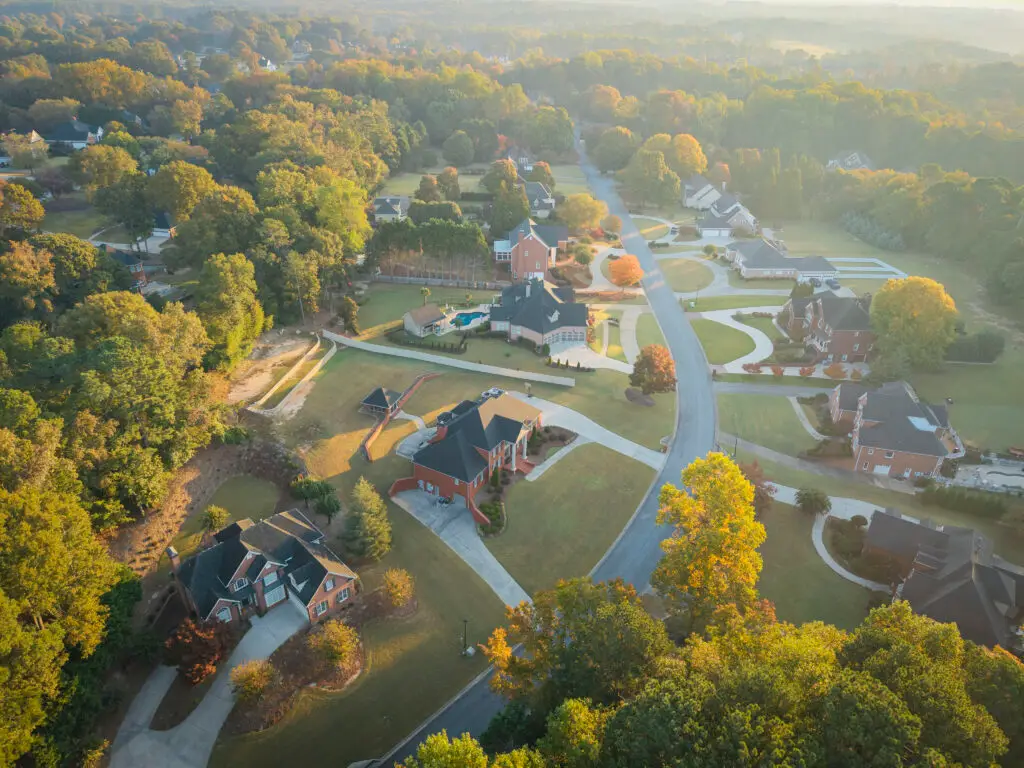
Context buyers crave: Show lot lines, roof condition, outdoor spaces, and proximity to parks, schools, lakes, and highways in a single glance.
MLS-friendly deliverables: We shoot for clean composition, true-to-life color, and proper framing to meet common MLS guidelines.
Compliant & safe operations: Licensed under FAA Part 107 with required airspace authorizations (LAANC) when needed.
Our Real Estate Process
Pre-flight – We confirm address, shot list, sun angle, and check airspace/NOTAMs. (LAANC requested when required.)
On-site capture – Interior/exterior HDR stills, gimbal-smooth drone passes, and detail shots for social cuts.
Post-production – Color-true edits, sky replacements as needed, tasteful lens corrections, stabilized 4K video with music & titles.
Delivery – Organized folder with MLS and social-ready exports, plus a shareable gallery/microsite link.
FAQs
Are you licensed and insured?
Yes—FAA Part 107 certified; we fly within FAA rules (VLOS, under 400 ft AGL, and with airspace authorization where required) and carry commercial liability insurance.
Can you fly near airports or in controlled airspace?
Often yes—with prior LAANC authorization and mission planning. Some locations may have timing or altitude limits.
What about Georgia-specific restrictions?
Georgia follows federal (FAA) rules; some parks/municipalities have added limits (e.g., certain state/metro parks). We’ll advise alternatives if local rules restrict takeoff/landing.
Do you provide branded and unbranded videos?
Absolutely—both are included in Premium; available as an add-on for other packages.
What if weather turns?
We monitor forecasts and reschedule at no fee for unsafe wind, rain, or lightning.
8 Blade Media LLC Disclaimer
While 8 Blade Media is capable of aerial data collection, visitors should know that we do not interpret survey grade information. For projects where exact measurements count, you still need to rely on a licensed land surveyor or survey engineer. 8 Blade Media can provide data in cooperation with your surveyor, but our data gathering does not replace the need for a licensed land surveyor in any state. This is not exclusive to our business, all drone data collection services cannot interpret data unless they have a surveyor on staff. Additionally, while we can overlay property boundaries on home lots (developed or undeveloped) it is strictly for reference only.